a place named majojos in osm (i’m sure most locals never heard that before), 1330m ASL and 570m above LZ in cenes de la vega, 7km from granada. welcome to the sierra nevada!
TO: 37.14088,-3.51323 (TO towards S)
facing: NW to SW (S-TO launches straight into thermals)
LZ: 37.15445,-3.53735
i was in cenes in early winter, camping at the foot of the hill to wake up to 1-3 degrees celcius. and hiking shirtless in almost 20 degrees just after noon. it’s the place where i had my first launch straight into thermal (leeside ones at that). it’s the place where i first time worked myself to hundreds of meters above takeoff. sure, i had been higher than TO before, but climbing in thermals as opposed to soaring ridge lift gave me a proud feeling of having earned it the hard way, even of being privileged to hanging up there. which probably roots in the fact that the first 50m are the hardest; 8 times did i take off – 8 tries in the leeside thermal just where it releases and only twice did i make it higher than summit. cenes is the place where i learned that thermals are tiny and strong (aka turbulent) close to ground and larger but less messy once up there. then it’s easy to fly back and forth and come back into the thermal to top up again.
cenes is also the place where i learned to take the glider into the sleeping bag, wrapped around me like a blanket. an expensive, but very warm and comfortable blanket. hey, it’s a magic carpet! 😉
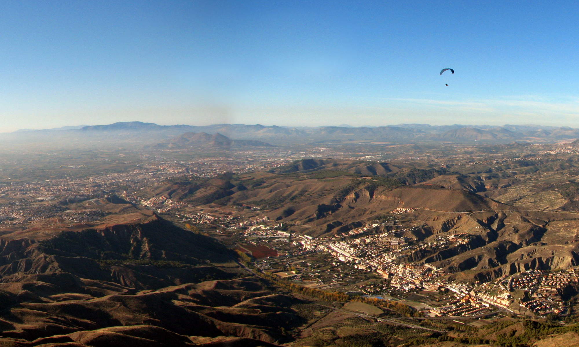
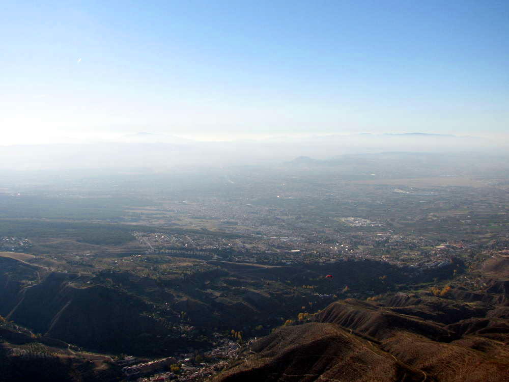 looking W at 1600m ASL – monachil at the bottom
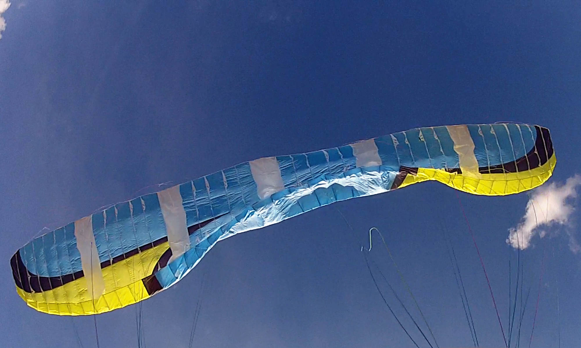
pilots going up by car take the road from the south side, through monachil. whereas the hike can start right at LZ, going up the north west face. there is one or two dirt roads where one might meet a mountain bicyclist on the weekend. the short route is cutting through the forest at the bottom, working your own way along various goat’s trails. the second half then is on a dirt track. from LZ to TO right at the peak should be around 1 hour or a tad more. up there one finds a picnic area, 30m higher the westerly-TO (which is the spot marked in paraglidingearth.com) and again 30m higher, right at the peak, is the two streamliners that mark the south-facing TO. in winter virtually no one managed to stay up after taking off from W – if you want to have a go in the thermal start right at the cliff where they do so as well. either right down the cliff, which is wide but steep and short before it falls off too steep after two paces. i managed with my single skin glider in a light warm breeze coming from down below. (in fact, i prefer steep and short takeoff places to long and gently sloping ones)
the other pilots, locals and guests, all took the crest facing SW, which provides a long and wide enough slope. right when a thermal did release at the peak i’d see pilots 5 meters from me going for the crest and get their canopies turning left into the southerly and some had to cancel their takeoff. took me a bit by surprise to see them reverse launch into that much off a crosswind. manageably cross, but why not take off a moment earlier or later into the meteo (south-)westerly? that thermal however was the moment i was waiting for, to run off the cliff 🙂
base camp was set up somewhere in the forest 10 minutes hike from LZ towards TO. on the north face, ahem! next time i’d put my tent to the other side of the valley. my spot was chosen in regard to sunrise and still it wouldn’t get sunshine until 9:45 and sun would drop behind the mountain just past 5. i enjoyed morning yoga in the cold, being ridiculed by the southern face – sunlit for 40 minutes longer twice each day.
i found drinking water at a spring in town, same goes for the food: a daily tour to three or four dumpsters fed me plus one; at the main street one is next to the supermarket and the other 50m further east on the other side of street, carries produce from some close by fruiteria. all of them are public ones and full of domestic trash – for the seasoned dumpster-diver. their locations are added to www.dumpstermap.org.
shower? rio genil! so cold it actually hurt and still i did it almost daily. at least you feel alive and fresh after it’s over. close to the LZ is a spot (20m W of the car bridge) where one can access the creek and not be seen right away.
nice to know; there’s a cozy library in town, open from 9:30 to 13:30 and again 16:30 til idunno. ask for the way or walk W on the main street for 3 minutes.