pic de redoun and pic du gallinas, 1500m above the hot springs, fontpédrouse in france. 10km to the spanish border. flat lands and sea in front of you, pyrenees‘ main ridge half a day of hiking behind you.
TO: 42.46528, 2.20532
facing: 360 degrees
LZ: 42.5046, 2.1767
beware of: strong and turbulent northwesterly called tramontane
hiking to the summit and back to the hot springs (where i left my tent and sleeping gear) was a daylong leisure hike from 9 to 8 – in october that meant getting up before sunrise and returning after dark. the approach is from northwest so i could have left the hat in the base camp, most of the hike is in shade of either the summits or forest. hiking is quite straight-forward; always up and a trail hard to get lost once you found it. that however took me some minutes in prats-balaguer, several trails begin at the edge of village and the shortest route is not named or indicated. only one or two places where the trail is flat for a minute, the rest is just climbing moderately without any descend in between. the col between the two summits is actually part of GR10 and from there it’s easy to just walk up to either summit, no indications or arrows. but you know, as long as you climb you‘ll come closer to the summit and when there’s nothing higher than you means your hike has reached destination. back at the col one may turn northwest to go the same way back or go down into the valley southeast. there’s a trail (at least on osm, i haven‘t done this!) leaving GR10 soon again to follow the valley down to the road few kilometers east of fontpédrouse, to make it a lap for those who don‘t want to go back the same way. and there’s a mountain lake further southwest, that can be seen from pic de redoun and the main ridge for those who want to turn this into a several days long bivouac.
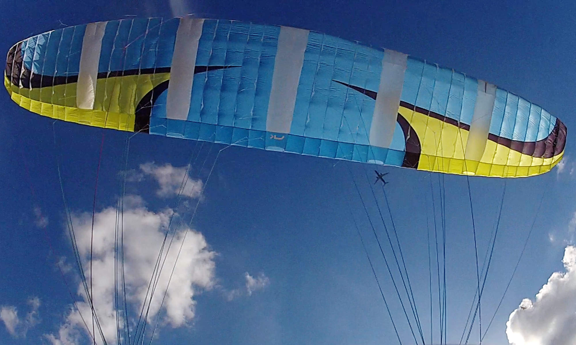
i hiked back down as i came up and had plenty of time to dream of more pleasant means to return to base camp, because my canopy was due to reparation with the manufacturer… hach! i know i want to come back for this.
at least two peaks to choose from, landing zone right next to the base camp and then hot springs – when do you get to call hot springs your base camp? the landing zone is not too big or too flat, next to the road bend where the 7 minute trail down to the hot springs begins. easily to spot from the air thanks to the many parked cars and campervans of fellow travellers having a bath. i‘d leave a streamer in a tree and use binoculars or my digicam’s zoom to look at the wind situation at LZ before taking off. yes, the LZ can be seen from both summits. if you can see the peak from LZ then you will see the latter from the beforementioned 😉
drinking water is a spring at the hot springs (i‘m writing of cold water to drink from, ask for directions), prats-balaguer sports a fountain with open bookshelf(!) and there is one spring pouring right across the trail just below the col.
dumpsters are aldi and one other supermarket (lidl?) in bourg-madame and prades offers an aldi at west end of town and a super-u has been reported to work there as well. see dumpstermap.org and especially ask the fellows who are already at the hot springs. in october there were plenty of mushrooms around the site and next to the trail leading to and fro the summits.
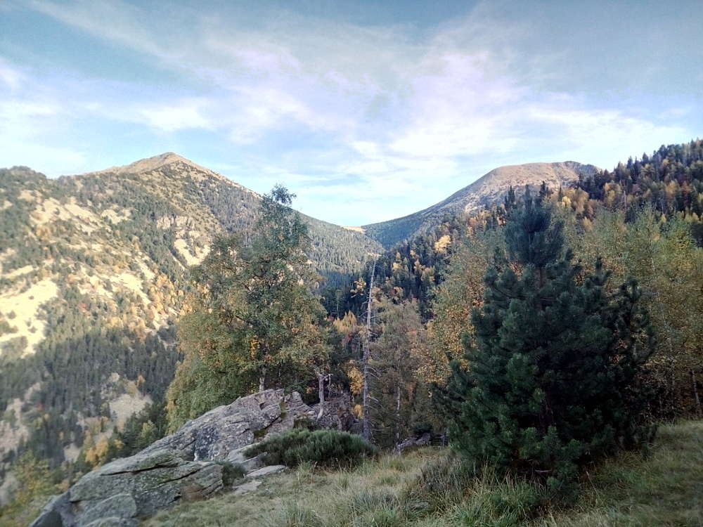
the two peaks as seen after one hour into the hike (photo taken on my return just before sundown)
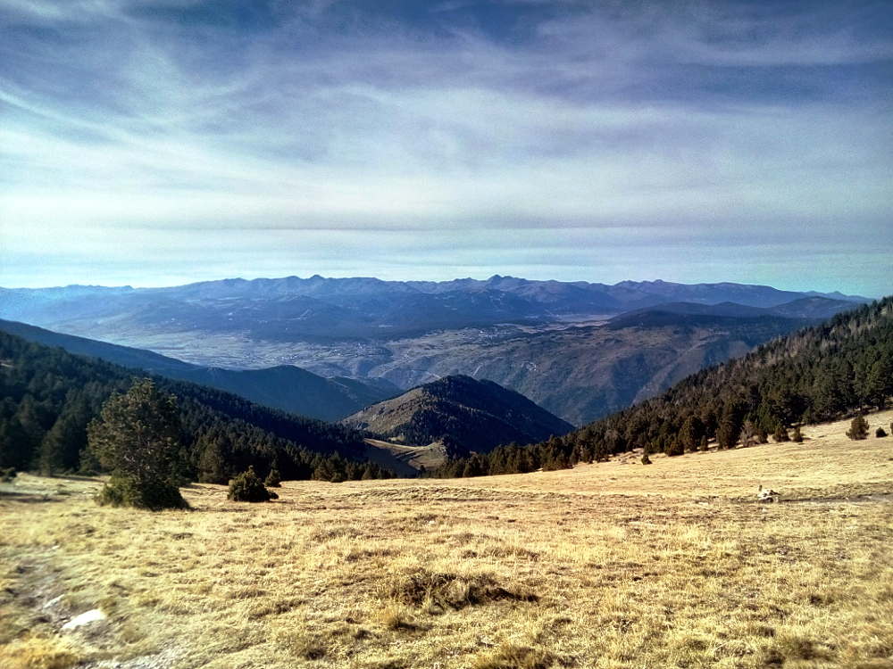
looking north from the col, LZ not yet in view
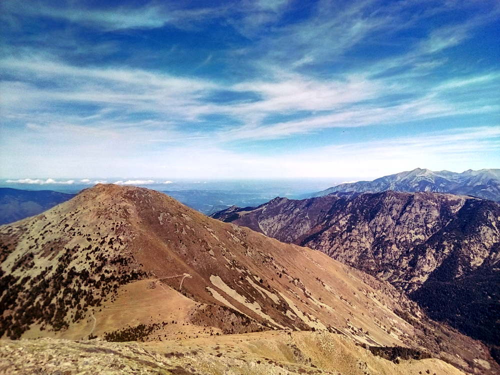
summit of pic de redoun, looking northeast to pic du gallinas and mediterrean sea in background
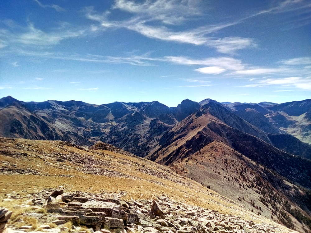
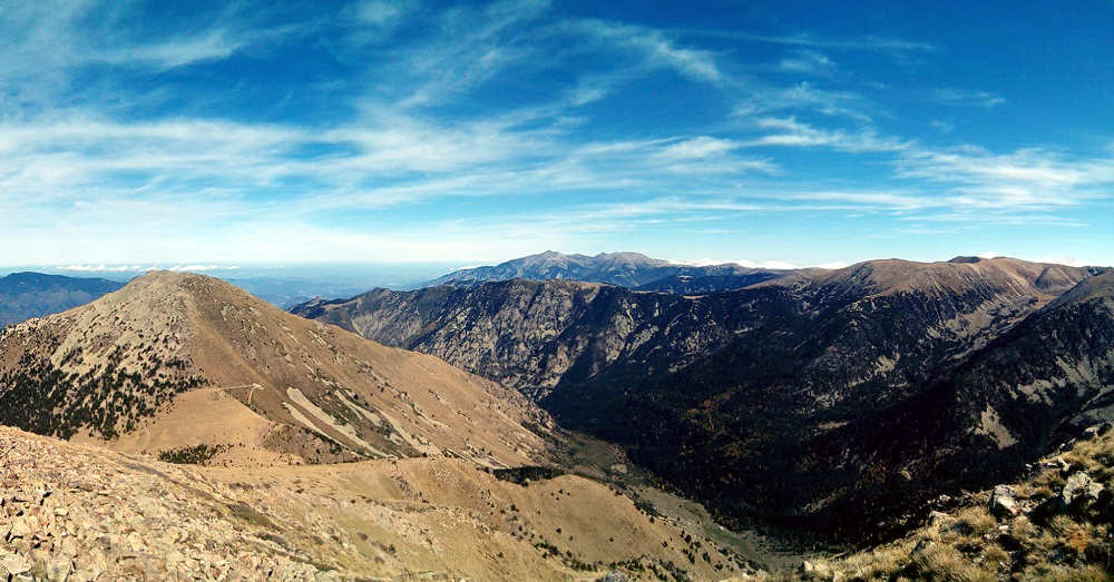
looking south to the main ridge from pic de redoun